


-
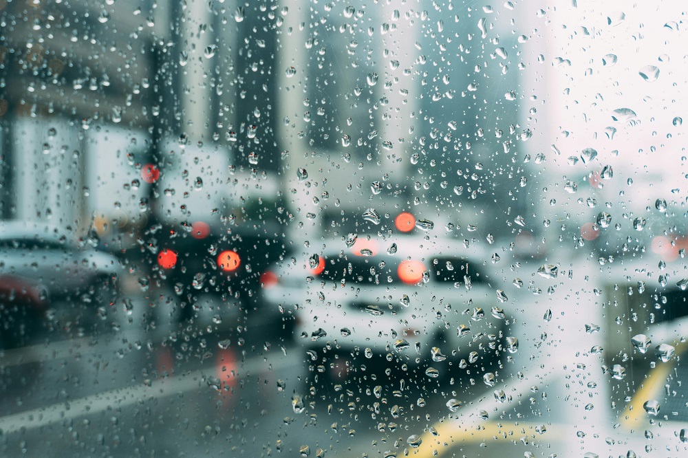
Rain on a car windscreen
The South African Weather Service has urged the public to take weather warnings seriously, as they play a critical role in reducing the risk of injury, loss of life or property damage.
This after severe thunderstorms left a trail of damage across Gauteng, Limpopo and Mpumalanga, after a level 4 warning was issued.
Pretoria North and Johannesburg’s East Rand were among the hardest hit.
Forecaster Lehlohonolo Thobela says climate trends show more frequent and intense storms for these provinces.
“The warning highlighted the potential for large hail, heavy downpours, as well as strong winds. All the impacts were realised as severe thunderstorms intensified over these regions. The public is strongly urged to take warning seriously as they play a critical role in reducing the risk of injury, loss of life or property damage.”
⚠️ ALERT: THE SA WEATHER SERVICE HAS ISSUED A WARNING FOR THE POSSIBILITY OF SEVERE THUNDERSTORMS
📆WHEN: MONDAY, 1/12/25
⏰TIME: 14:00-23:59
📈RAIN PROBABILITY: 60%
📍AREA: ENTIRE GAUTENG
🔴POTENTIAL THREATS
•FLOODING
•HAIL
•DAMAGING WINDS— Gauteng Weather (@tWeatherSA) December 1, 2025
Severe thunderstorms are also expected in the North West and Free State.
Weather warning: Severe thunderstorms with a high likelihood of minor impacts of heavy rain, localised flooding, damaging winds & a possibility of Hail and excessive lightning.
Affected area: North West & Free State.
Validity period: 01 – 02 Dec 2025#saws #weatheroutlook pic.twitter.com/PKGhetYqtd— SA Weather Service (@SAWeatherServic) December 1, 2025
-Reporting by Culvin Mabasa.