


-
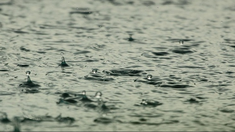
Rain droplets.
The South African Weather Services (SAWS) is warning that a cold front has made landfall sweeping through the Western and Eastern Cape.
The two provinces will be seeing scattered thundershowers and rain into the weekend.
A yellow level warning four has been issued for the Eastern Cape with predictions of snowfall in high-lying areas and in Lesotho.
Weather forecast for today & tomorrow, 05 – 06 July 2025.
Rain & showers are expected over the southern & south eastern parts of the country, with possible disruptive rain and damaging winds along the south coast of the Country, as well as disruptive snow in the Eastern Cape . pic.twitter.com/SXC43rGL7L— SA Weather Service (@SAWeatherServic) July 5, 2025
SABC meteorologist, Odirile Modipa says it is normal to have back-to-back cold fronts for this time of the year.
“Because these two provinces have experienced some significant rainfall over the past few weeks, this particular cold front is bringing in more rain meaning that they are susceptible to flooding cases, and we are expecting snowfalls in parts of the Eastern Cape.”
Cold front warning for Western & E Cape
The South African Weather Service has also forecast extremely cold temperatures in the Free State from this weekend to Wednesday next week. It says temperatures will peak at 12 degrees celsius.
Provincial authorities have advised residents, especially farmers who keep small animals to take precautions. Forecaster Muneiwa Singo …
“These cold temperatures are said to continue until next week Wednesday with a slight increase expected from Thursday where maximums will range from 12 to 19 degrees Celsius. Along with isolated showers and thundershowers over southern parts of the Free State as well as along the Lesotho border on Sunday. As a result of these cold temperatures the public and farmers are advised to take the necessary precautions to ensure the safety of their small animals, vegetables and other vulnerable crops. The public is also advised to keep warm and avoid prolonged exposure to the cold.”
Additional reporting Kamogelo Seekoei